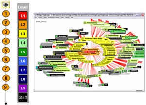
The hierarchy of positions is the “ground truth” terrain of the organization, zoom-able “down” to the unit person scale. Every position’s “altitude” in the organization is given by its level, indicated by a color scheme or a level number, which gives the jobs in the organization their “elevation.” OrgScope produces an organizational relief map of an inherently 3-D structure
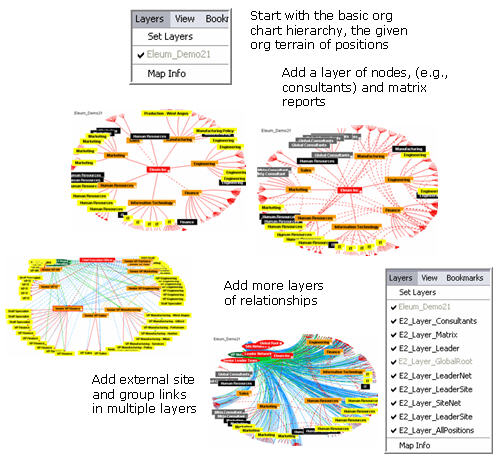
With the organization’s single terrain map of positions, an unlimited number of layers can be added of nodes, links, and features that add “color” and detail to already existing nodes and links
Layers offer a simple approach to mapping networks
and adding layers of complexity
We have often used the example of Google Earth to explain the idea of first mapping the organizational terrain (via the HR-LDAP hierarchy data), then overlaying additional detail as layers of information that could be switched on and off. In the case of OrgScope, layers can not only overlay the base formal network with myriad working networks, but also expand the underlying framework of nodes itself (e.g., adding contractors, or suppliers and customers).
In practice, the organization maintains and periodically updates the base people-position hierarchy, along with some general layers, such as matrix reports. Most layers, however, will be developed by sub-organizations, teams, and specialists working with specific networks threading through and around the formal positions, keeping their own data to overlay on the refreshed hierarchy.